The Kalkense Meersen Cluster

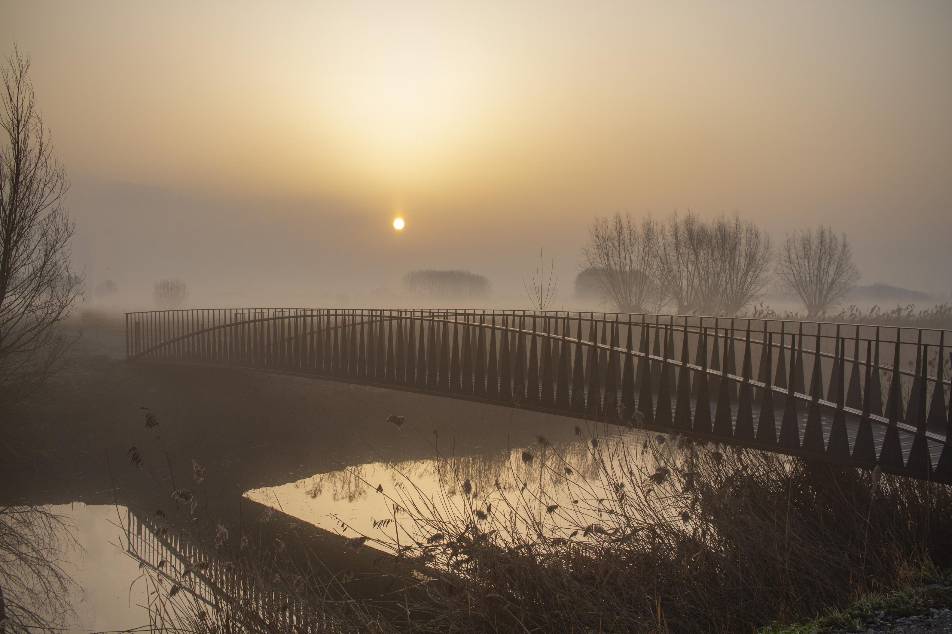
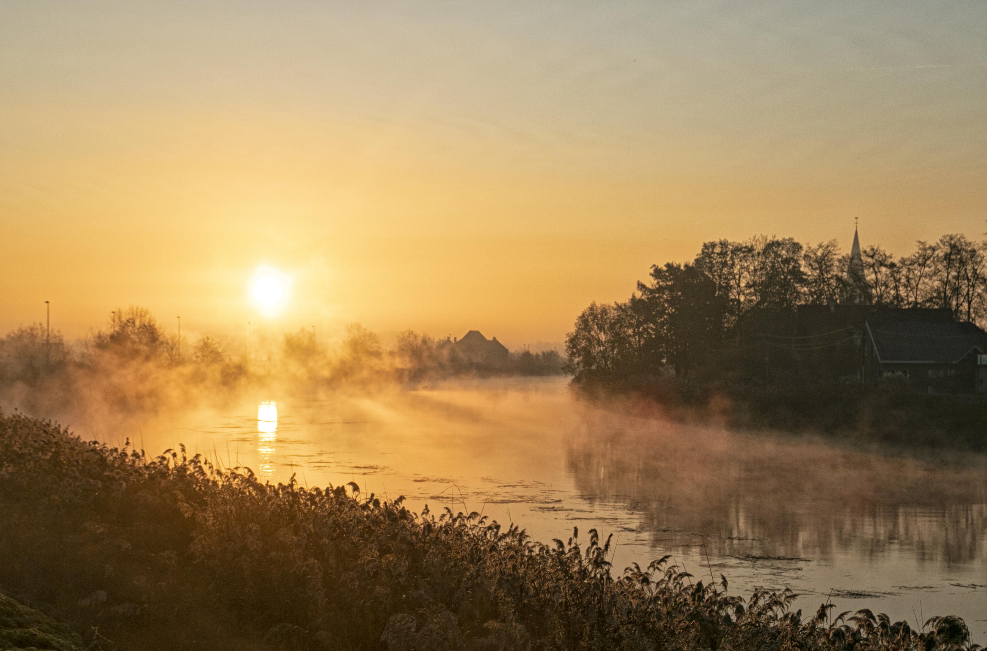
The Kalkense Meersen area stretches across no less than 950 hectares and covers the territories of Berlare, Laarne, Wetteren and Wichelen. The Scheldt has regained room to expand and contract here thanks to valuable pioneering work, which is now used as an example for other Sigma Plan areas. 

The Kalkense Meersen Cluster includes the sub-areas of Kalkense Meersen, Wijmeers, Bergenmeersen, Paardeweide and Paardebroek.

Project name
The Kalkense Meersen Cluster
Surface area
940,86 hectares
Region
The Kalkense Meersen Cluster
Area
Laarne, Wetteren, Wichelen en Berlare
Duration
2010 – 2016/2025
River
Scheldt
Intervention
FCA and CRT – Tidal nature – Depoldering – Wetlands
Kalkense Meersen, ©Yves Adams

Flood control areas with reduced tides and depoldering give the Scheldt extra breathing space and reduce the pressure on levees at storm tides. This protects the communities nearby from flooding. It also creates a valuable habitat for fauna and flora. We are also working to restore wetlands with a variety of grasslands, flower meadows, reed beds and open water. The Kalkense Meersen area stretches across no less than 950 hectares and covers the territories of Berlare, Laarne, Wetteren and Wichelen. The Scheldt has regained room to expand and contract here thanks to valuable pioneering work, which is now used as an example for other Sigma Plan areas.

Image

The Kalkense Meersen Sigma Plan project comprises a number of sub-areas. They protect the environment from flooding and support the natural environment. 

Depoldering

  • Wijmeers part 1 
    Wijmeers part 2

In addition, two existing flood control areas were given a natural purpose:

  • FCA-CRT Bergmeersen, tidal nature
  • FCA Paardeweide, wetlands

Wetlands

Flood protection

Flood control areas such as Paardeweide and Bergenmeersen can store water at storm tides. The depoldering of Wijmeers gives the Scheldt extra breathing space. This reduces the pressure on the levees protecting communities such as Wichelen and Berlare and keeps such communities safe and dry. Wetlands collect rainwater like a large sponge and slowly release it back to the river. This helps to prevent flooding and keeps the natural environment fresh in dry periods.

Unique tidal nature/Wetlands

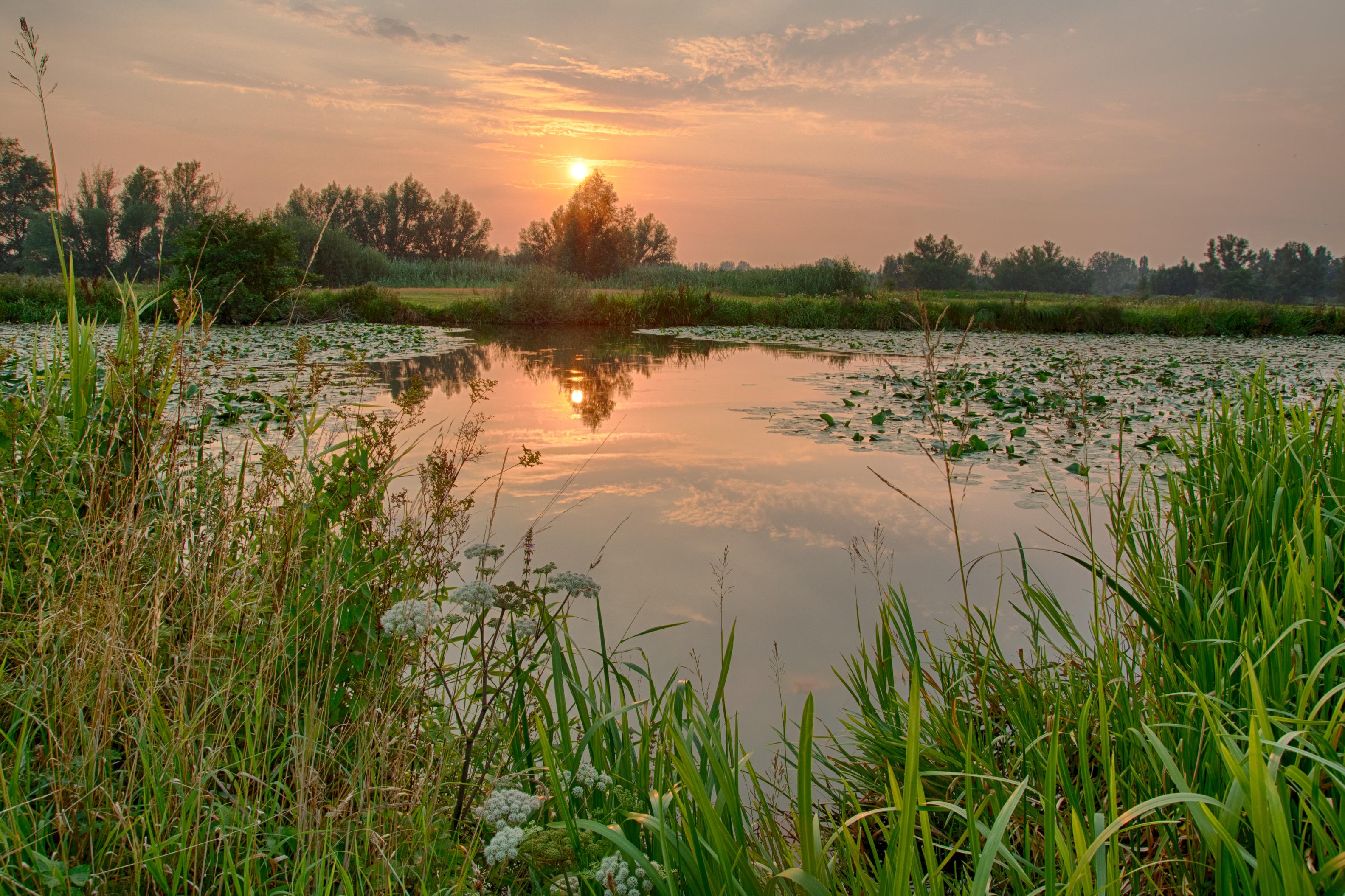
In the Kalkense Meersen, we work with nature to protect the Scheldt Valley from the effects of climate change. The World Association for Waterborne Transport Infrastructure PIANC awarded Kalkense Meersen the prestigious 'Working With Nature' certificate for its innovative interventions. The wetlands of Kalkense Meersen, Wijmeers and Paardeweide consist of extensive wet grasslands with open water and reed beds here and there. They are home to a great variety of rare plants and animals, such as the marsh marigolds and black-tailed godwits.
 

Interreg Flanders-Netherlands – IMMERSE project (Wijmeers tidal creek)

mail

Op de hoogte blijven?
Schrijf je nu in op de nieuwsbrief.

Wil je op de hoogte blijven van het laatste nieuws over het Sigmaplan? Schrijf je dan in voor de digitale nieuwsbrief.

Schrijf me in voor de nieuwsbrief

help_outline

Any further questions?
Contact us.

If you have any questions or suggestions, get in touch and we will be happy to help.

Go to contact