Polders of Kruibeke

Flanders' largest flood control area

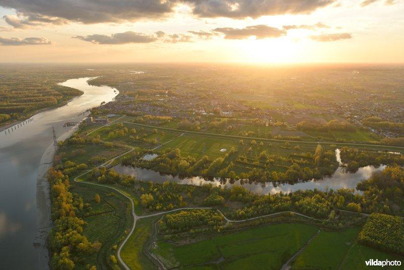
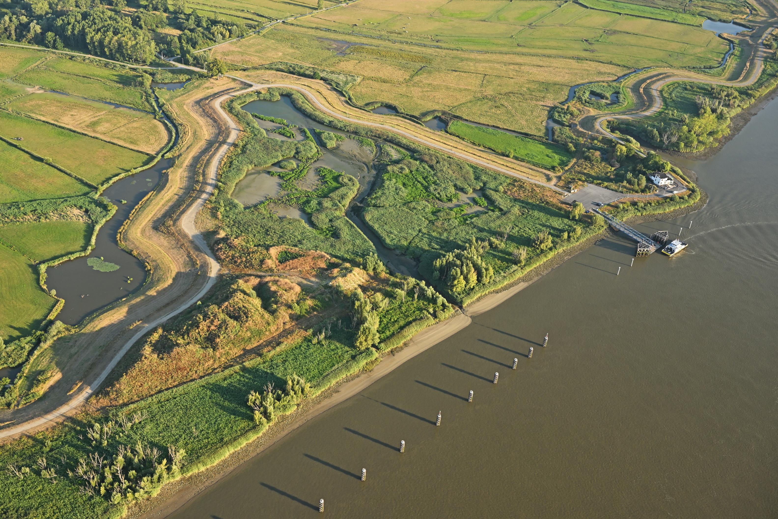
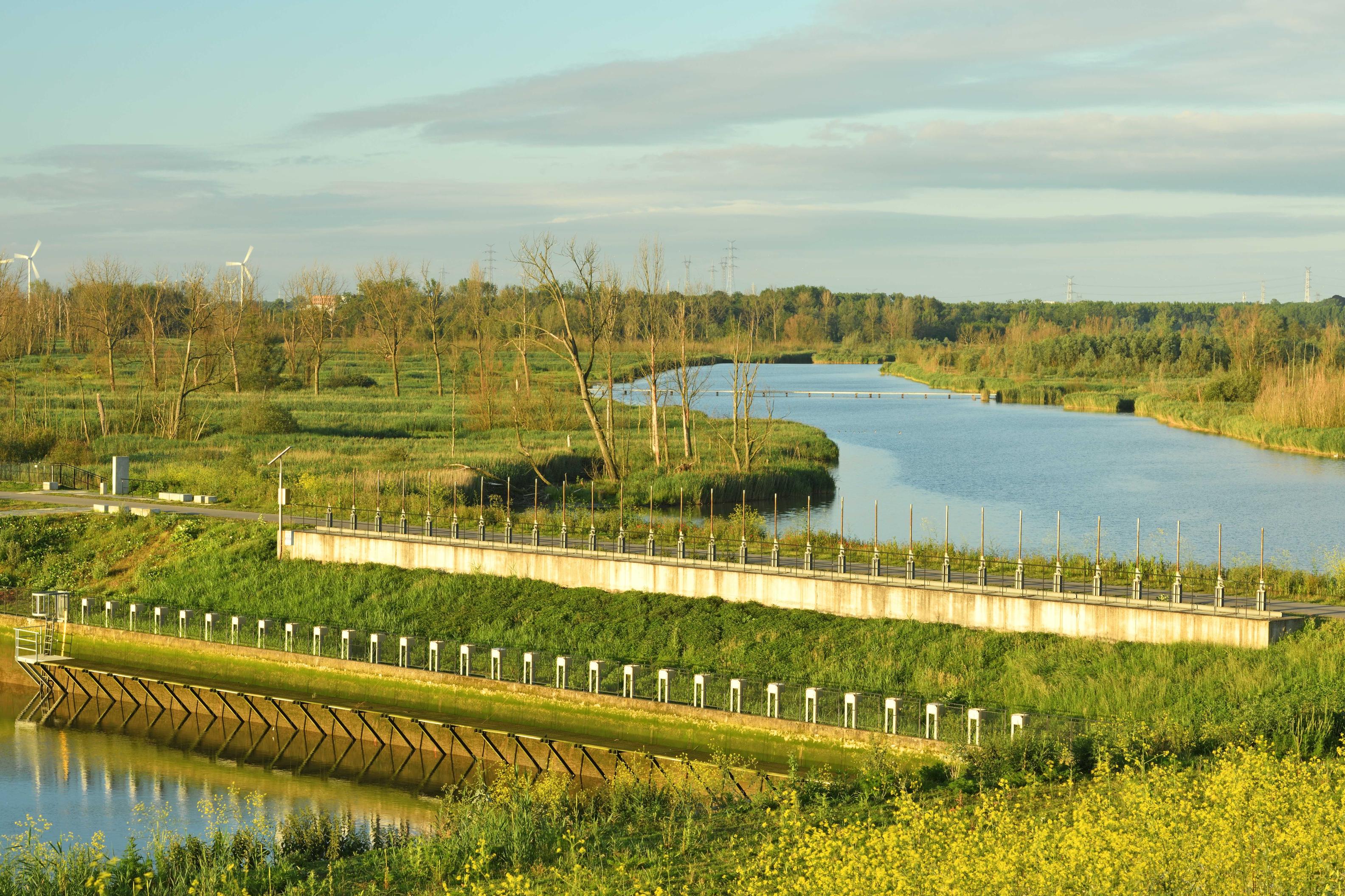
In Waasland, near the town of Kruibeke, lies Flanders' largest flood area: the Polders of Kruibeke. This area makes Flanders no less than five times safer. With more than 600 hectares of unique nature reserve, this is a true paradise for walkers and cyclists and a catalyst for the local hospitality industry and businesses.
 

Project name
Polders of Kruibeke
Status
Finished
Surface area
600 hectares
Region
Polders of Kruibeke
Area
Kruibeke
Duration
1994 - 2024
River
Scheldt
Intervention
Flood control area (FCA) – wetlands (open meadows and carr) – flood control area with reduced tides (FCA-CRT) – depoldering
PDK2025©Vilda
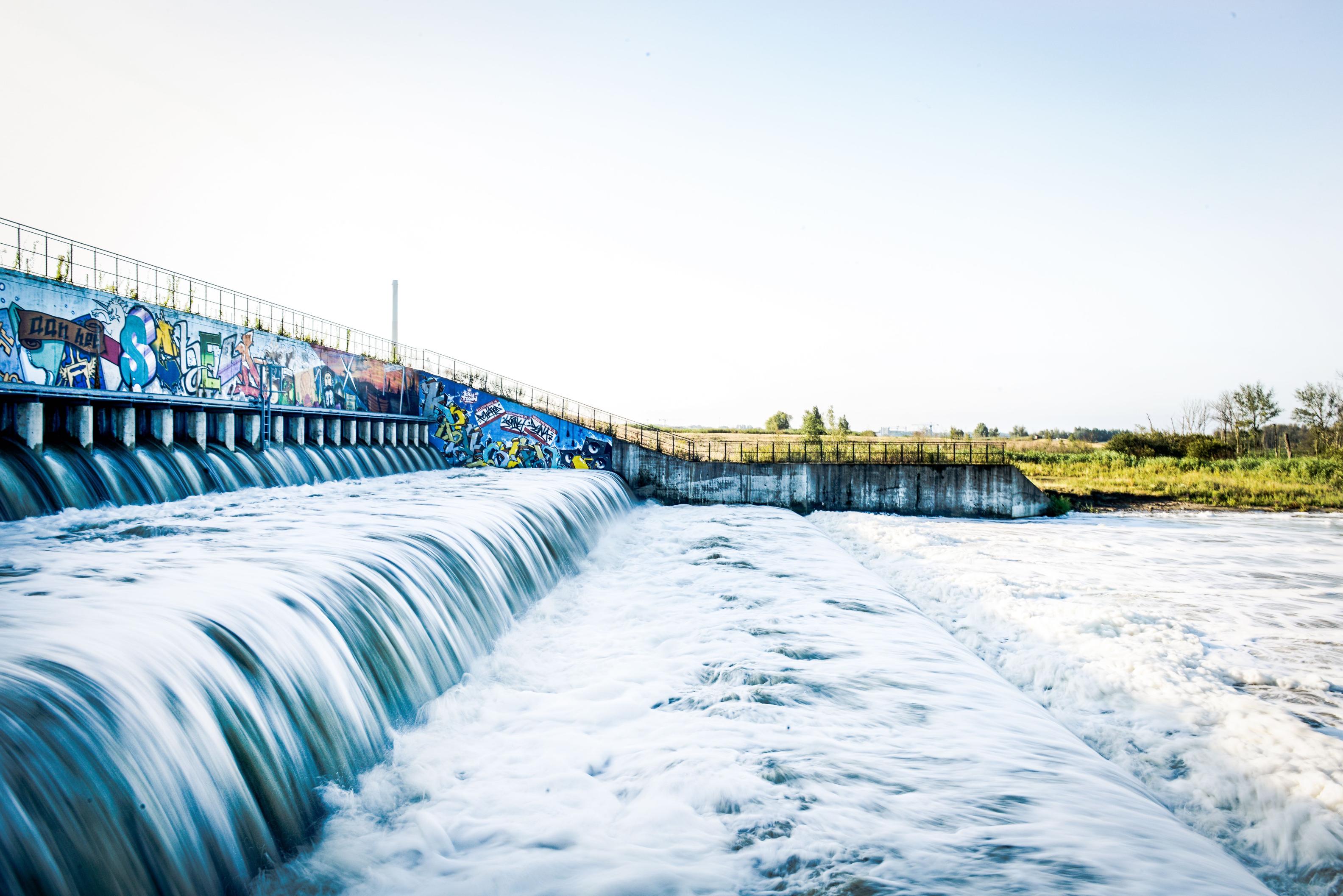
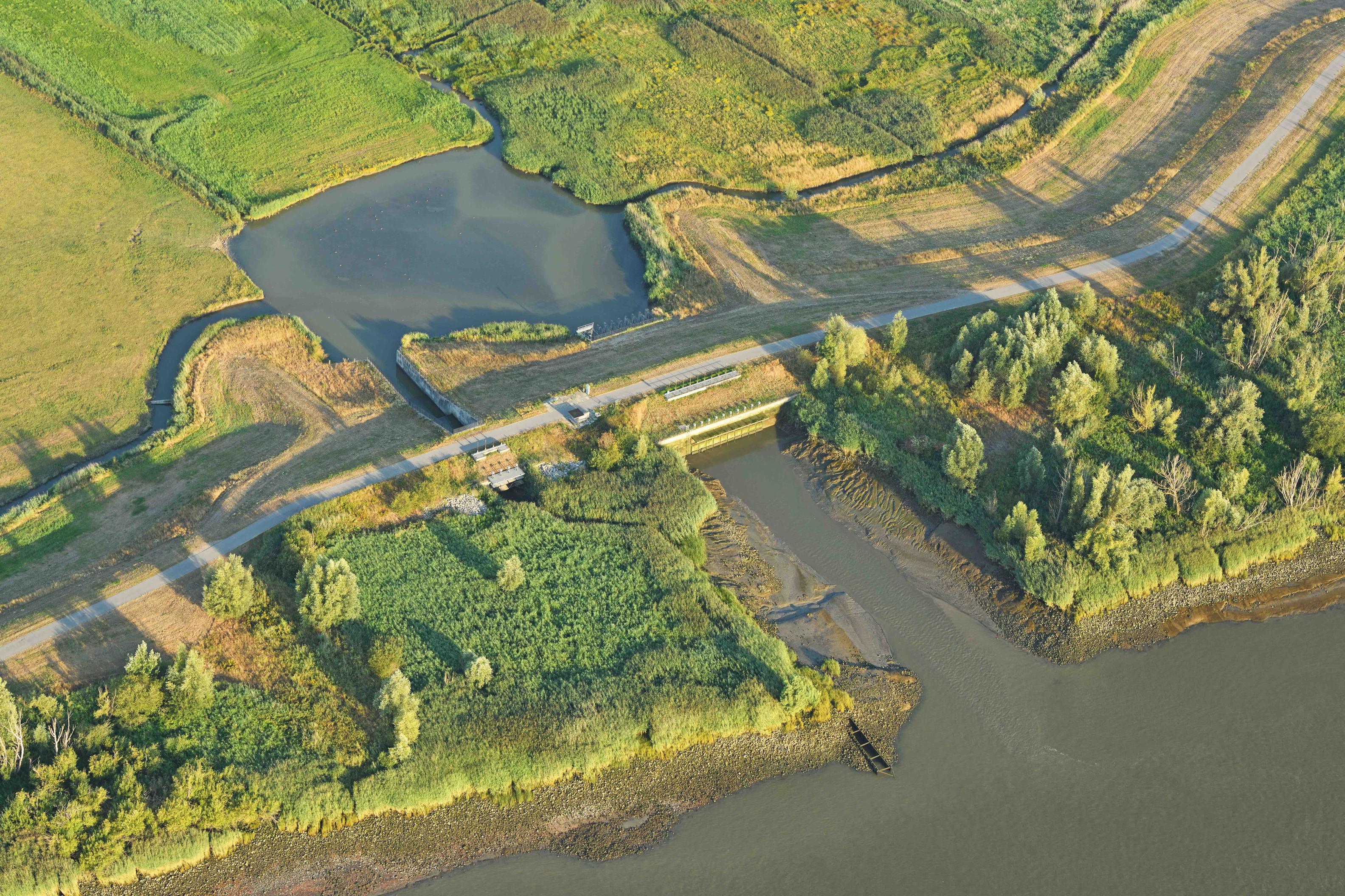
In- en uitwateringssluis, Polders van Kruibeke in 2025, ©Vilda

As a flood control area, the Polders of Kruibeke absorb water from the Scheldt when water levels are extremely high.

The Scheldt levee was given a new function as a floodable levee. The 8-kilometre water barrier was lowered. A 6-kilometre ring levee protects the nearby villages from the incoming water during storm tides.

Inlet structures ensure that Scheldt water can enter the area even under normal conditions. At low tide, the outlet chutes lead the water back into the Scheldt. This creates a delicate tidal nature.

The former levees of Barbierbeek have been preserved in honour of the historical boundaries between the Kruibeke, Bazel and Rupelmonde polders. These levees are the boundary between the tidal nature in the north and the mix of tidal nature, grassland bird habitat and alluvial forests in the south.

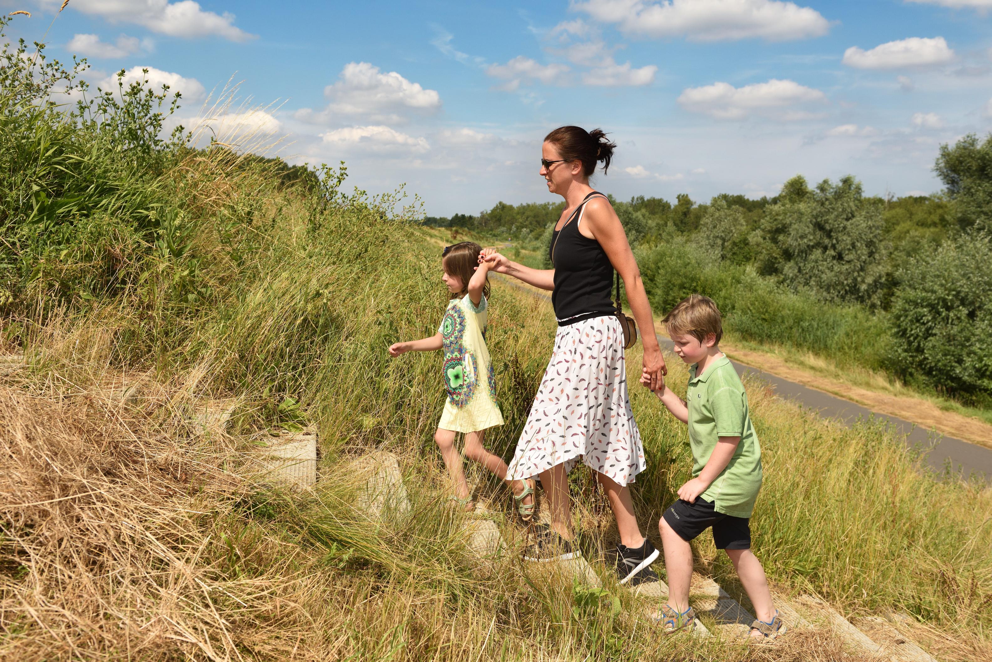
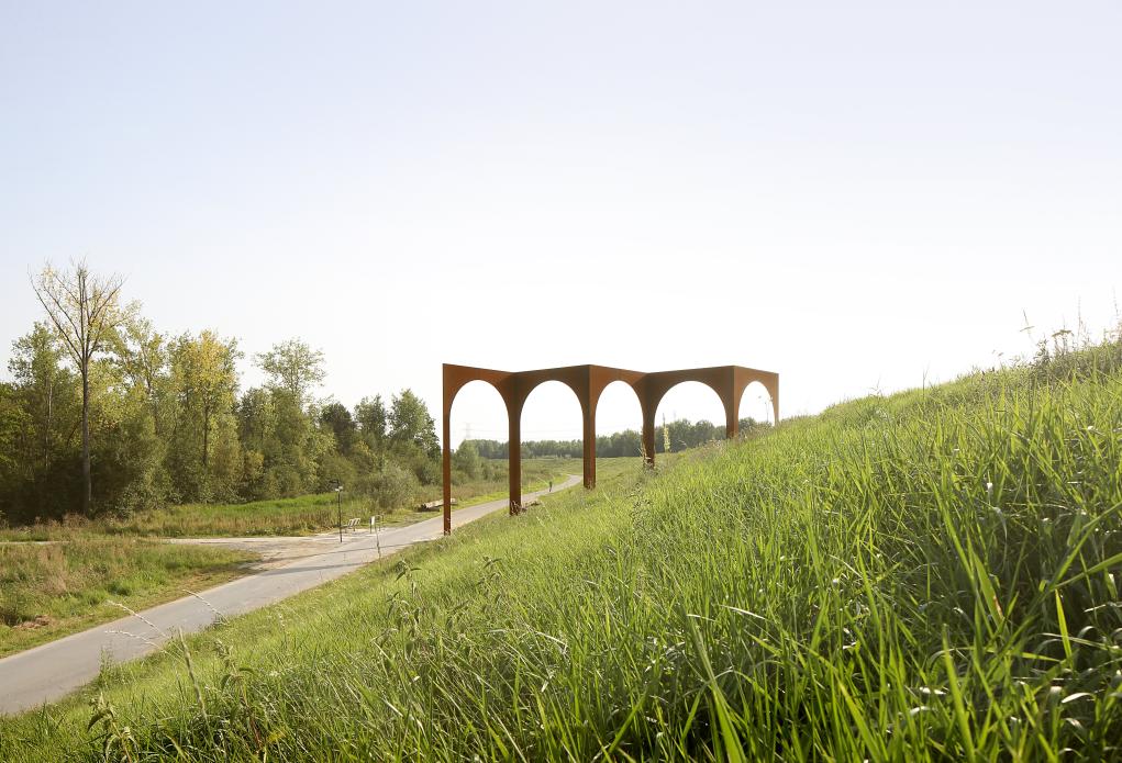
In 2021, the Polders of Kruibeke were recognised as a nature reserve. Beautiful new elements such as the boardwalk and nature experience trail show that the focus is not just on nature restoration but on the experience of nature as well. There is something for everyone here: hiking enthusiasts, cyclists, birdwatchers but also art lovers. Artworks have been integrated into the landscape to let visitors experience nature in a different, more intense way.

Image

Flood protection

Of all the flood areas in the Sigma Plan, the Polders of Kruibeke have the largest water storage capacity. Because they are downstream (the source of the flood risk), the polders protect not only the town of Kruibeke itself, but also the municipalities along the Scheldt further upstream. A 6-kilometre ring levee protects nearby villages from incoming water during storm tides.

Biodiversity offsetting to create a home for many animals

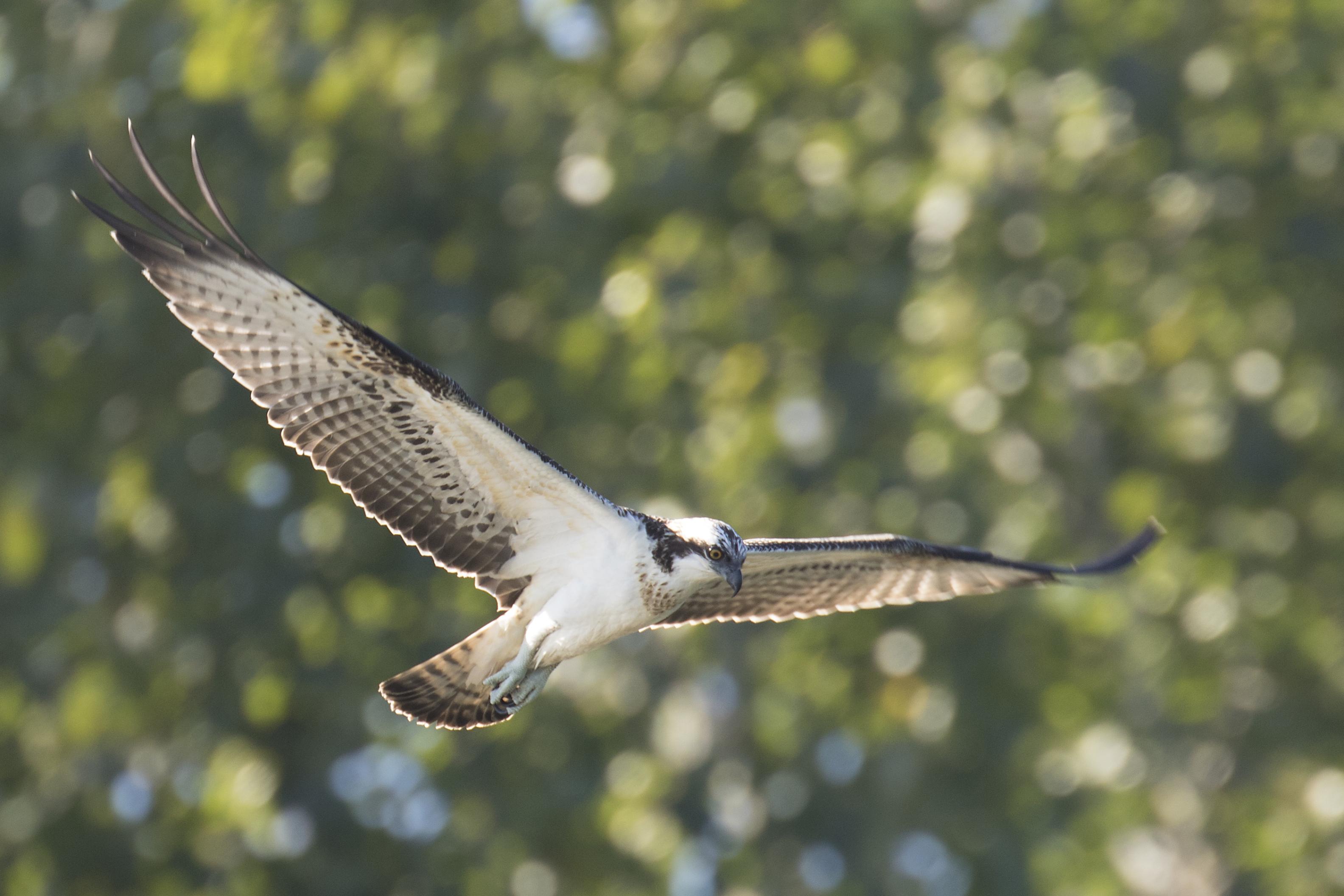
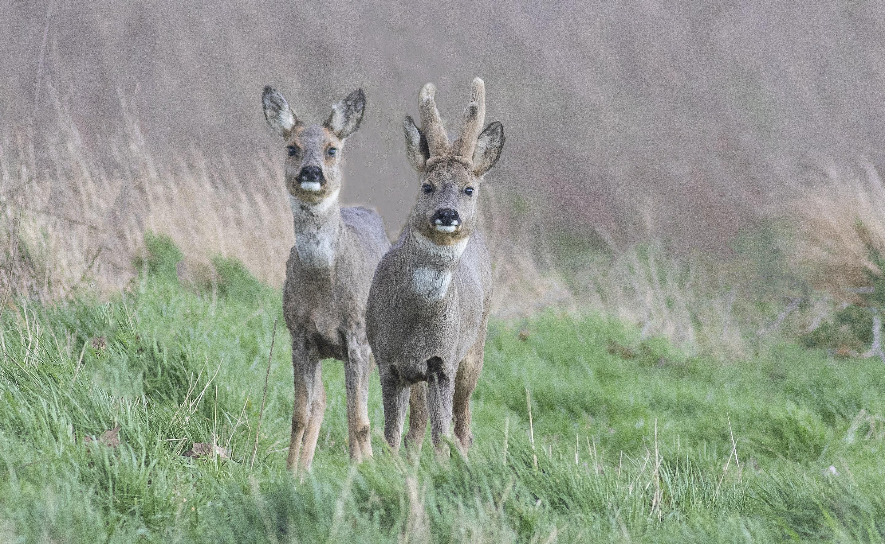
The flood control area is a biodiversity offset for the construction of the Deurganckdok and for the loss of the tidal mudflats and marshes in the past. The Polders of Kruibeke now include 300 hectares of tidal mudflats and marshes, 150 hectares of grassland bird habitat and over 150 hectares of forests and creeks. Roe deer feel completely at home in the ancient alluvial forests, and new additions to this habitat include the beavers and otters. Protected species such as the common redshank and black-tailed godwit love the grassland habitat. A fish-friendly weir gives the fish free access to pass between the freshwater canals and the Scheldt. The fish favour calmer waters to reproduce. That is also the best environment for young fish to grow into adulthood. Fish stocks are beautifully balanced on both sides of the weir.

Collaboration with farmers and a wildlife association

We rely on local farmers to manage the grasslands. They have transformed their fields into open grasslands. Specialist monitors from KRUIN observe the comings and goings of plants, birds, butterflies, dragonflies and damselflies. Local ambassadors referred to as 'Barber Guides' give hundreds of people interesting tours of the polders every year.

LIFE+ project Scalluvia gave some 90 hectares of alluvial forest and creeks in the Polders of Kruibeke an optimal natural design. Four partners worked together on this project: the Flemish Agency for Nature and Forest, De Vlaamse Waterweg nv, local Natuurpunt association KRUIN vzw (Kruibeeks Natuurbehoud) and the municipality of Kruibeke.  The European Commission supports the restoration and development of natural areas with the LIFE+ programme. Together, they make up the Natura2000 network. This also includes the Polders of Kruibeke.

In the context of the European STEP project (Sustainable Tourism in Estuary Parks), De Vlaamse Waterweg nv and the Flemish Agency for Nature and Forest collaborated with National Park De Biesbosch (NL) and The Broads National Park (UK) in the Polders of Kruibeke in the period 2007-2013. The aim was to collect best practices for sustainable tourism in tidal areas.

Water knows no borders

Water is constantly in motion. Watercourses are an important driving force for nature, agriculture, economy, transport and so on. Despite their many benefits, they also bring challenges worldwide. That is why the European Union is releasing funds to encourage cross-border cooperation and knowledge exchange. In the Polders of Kruibeke, you will see examples of international thinking everywhere. 

FRaME: Flood Risk Management in Estuaries

Many European countries are particularly densely populated. Over the years, their rivers have been forced into tight straitjackets. Climate change has meant that levees can no longer hold back the swelling mass of water. All countries must learn to coexist with water and give their rivers more room again. To use these buffer zones in a multifunctional way, Dutch, English and Flemish administrations have started looking for new ideas. In Kruibeke, every detail of the local water management was scrutinised. The design of the area resolved local flooding problems permanently. The Barbierbeek watercourse was given more space both outside and inside the polder and now even plays a leading role in the creation of a valuable tidal natural environment. The injection of fresh water is now making the variety of food for hungry waders even more varied. It also increases the dynamic of the Barbierbeek gully, which helps to avoid silting.

ComCoast: Combining functions in Coastal Zones

Many countries are facing the same problems: when levees need to be raised, their foundations also take up more and more space. That space is often lacking in our densely populated continent. Most European countries are therefore looking for alternative solutions in order to manage the flood risks well into the future. With its Sigma Plan, Flanders is pioneering integrated water management, which favours natural flood control areas over technically demanding storm surge barriers. At ComCoast, Waterwegen en Zeekanaal nv shared this knowledge and experience with water managers from Denmark, Germany, England and the Netherlands.

  • 1994

    Decision in principle to create the Kruibeke-Bazel-Rupelmonde flood control area

  • 2005

    Ring levee construction

  • 2011

    Working to improve hinterland drainage

  • 2012

    Construction of outlet structures

  • 2013

    Construction of the multifunctional nature reserve of Kortbroek
    Start LIFE+ project Scalluvia

  • 2014

    Opening of towpaths, public roads and forest paths

  • 2015

    Official inauguration of the operational flood control area

  • 2016

    Last pipelines moved

  • 2017

    Depoldering of Fasseit
    Completion of flood control area

  • 2018

    Final symposium on Scalluvia
    Scheldelei reception area

  • 2021

    Polders of Kruibeke recognised as a nature reserve

  • 2025

    Bazel-Kallebeek reception area

  • 2026

    Voorziene start werken optimalisatie waterhuishouding in Kortbroek

mail

Op de hoogte blijven?
Schrijf je nu in op de nieuwsbrief.

Wil je op de hoogte blijven van het laatste nieuws over het Sigmaplan? Schrijf je dan in voor de digitale nieuwsbrief.

Schrijf me in voor de nieuwsbrief

help_outline

Any further questions?
Contact us.

If you have any questions or suggestions, get in touch and we will be happy to help.

Go to contact